#StridingStrong
The life, the work, and the thinking of Alexander Duca.
Drifting through Mt. Balagbag + Mt. Maranat

I feel so blessed to be born and raised in Rizal. It’s a 2-hour ride province from Metro Manila that has it all – falls, rivers, mountain range, caves and even historical sites – perfect for any quick getaway craving. And just this weekend, I have personally witnessed another natural wonder my province has to offer.
It’s been just almost 3 months since my major climb in Mt. Pulag. I can still really recall how tough the “easy trail” for my legs. I only hike once or twice a year in the past, but recently, the itch to travel or at least hike and camp out became a little frequent than before. So I decided to check out Mt Balagbag (and Mt Maranat) and invited a few friends.
I actually got confused at first about how Mt. Balagbag is related to Mr. Maranat. I saw some blogs mentioning about these two mountains at once and some, talked about them separately. But further research and inquiries to some of the people who’ve been there, I finally found out that in short, Mt Balagbag and Mt Maranat are two mountains connected to each other via Sierra Madre range which you can hike one after the other. And last weekend, we took upon us the challenge to conquer these summits in one weekend climb. #FeelingPro
DAY 1 – MT. BALAGBAG
Nini, a waxing salon manager who’s also a college friend and a hiker agreed to come us which I felt lucky because he’s been there a few times. Me, Jerald & Ian (both Graphic Artists) met with Nino in Cubao pass 2PM. From Cubao we took a bus going to Tungko, Bulacan. The bus ride was one hell of a ride. Angry driver got pissed off with his seemingly newbie konduktor and a female born again preacher made the jumpacked bus feels more like hell. We arrived at Tungko around 3:30PM and took a jeepney going to Licao-Licao. You can alight in front of Jollibee and walk a little till you find the jeepney terminal going to Licao-Licao. At 4:25 we reached Licao-Licao. Licao-Licao is actually part of Rodriguez Rizal, a small community at the border of Bulacan and Rodriguez.
From there, we took a tryc going to Brgy Hall of Brgy. Balagbag and paid a P10 registration fee. Manong tryc driver brought us to what they call “junction” after dropping by at the Brgy Hall. From the Junction, we started our trek uphill. The roads in Brgy Balagbag are mostly rough and underdevelop so the 15-minute tryc ride was very bumpy.
The trek in Mt Balagbag is relatively easy and is ideal for beginners. It’s easily accessible by car if you want to go way up the summit driving. Going up, resorts signages along rough road are noticeable.
We reached Ate Fe’s store at 5:00PM. It’s the second to the last sari-sari store to the summit where we bought drinking water, boiled eggs and some snacks. Yes, you don’t have to worry about bringing water because there are several sari-sari stores along the trail. 1 Liter is P30. We have also settled our entrance fee to the family resort where we will be staying for the night and left our bags to Ate Fe so we can travel up hands free. We just took with us our bottles of water and LED lights because we expect to descend after sunset.
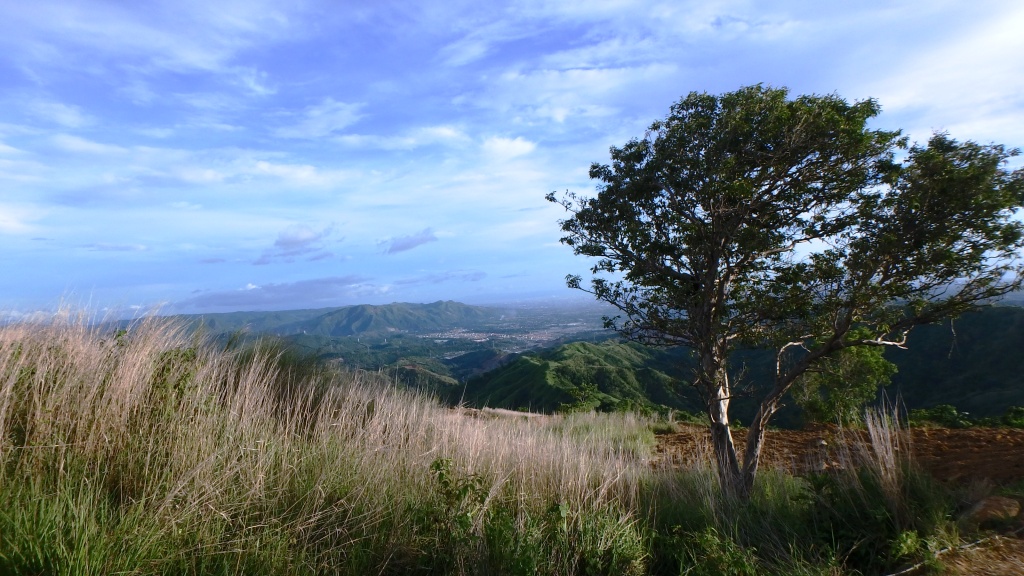
Travelling up to the summit, or some call it “helipad” is actually easy. Yes, it’s considerably a pabebe hike because the trail is flat and the sceneries are absolutely stunning. We didn’t miss our chance to pause and simply stare at the Metro Manila skyline. As we go up, the view gets more spectacular.

The summit is part of a private property so we needed to pay another P20 entrance fee and pass through a steel gate (which looks like the ones we see in Wrong Turn movies) to get there. After entering in the private area, we’ve just slowly enjoyed the serenity of the place, the green & yellowish grassland surrounding us, the wonderful weather, the sound of wind, and a cheerful company we have in the group. Hiking in Mt. Balagbag reminds me that sometimes, we are often too preoccupied with our desire to reach our end goal that we often forget to pause, walk slowly and appreciate the things that are in front of us. Mt. Balagbag tells us that climbing is not just about getting into the summit, but enjoying the climb itself and having a good time.
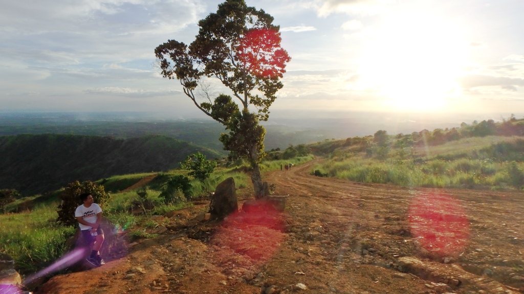
There are no trees along the trail so I think it’s gonna be difficult to hike on day time. We reached the summit at around 6:30PM. We only saw one group of campers in the helipad. We spent the next 15 minutes taking photos, videos and appreciating the sunset. The Mt. Balagbag summit is a magnificent summit that is best traveled in the afternoon, specially when the sunset is coming, just like what we did. It’ll give you a slice of heaven that you are dying to experience when you are jaded in front of your PC as an 8-to-5 slave. Our brief moment in the helipad brought clean air in our lungs and cleared our minds as well as reminded us how to live.
There are no network receptions in Mt. Balagbag which I highly appreciate because it helped us get more focused on savoring the moment rather than be consumed with choosing filters and posting online photos real-time. In this era of WiFi and big data, being disconnected once in a while is a must.
We began to descend at around 6:45PM and met some hikers along the way who will be staying in the summit over the night. As darkness gradually covered the mountain, the city lights of the metro skyline became apparent and the familiar nostalgic cricket sound began to be heard among the grass. Its sweet.
We went back to Ate Fe’s store where we picked up our bags and went straight to the family resort that’s just located at the back of their store. Going back took us roughly 70 minutes. At the resort, we pitched our tents, did our personal rituals and prepared our dinner.
We’re the only travelers occupying the resort that night so it feels like we paid for a private resort for ourselves. Haha. I actually like the place. It has all the essentials you need to stay and chill – a small area covered in Bermuda grass where 3-5 tents can be built, a small infinity pool overlooking the metro, a dining area with roof and power supply, beside it is the lavatory and just above the dining area (aka cottage) is a small house where you can also stay for the night and use the comfort room. The resort is not a first class type of resort, but decent enough (and cute) to be considered a resort for hikers who prefer better sleep at night when hiking in Mt Balagbag.
We finished our dinner pass 8PM and afterwards dip in the pool until 12 midnight. Yeah, staying in this resort is one of the best decisions we did today. I can honestly go back to Mt Balagbag and then just stay in this mini-resort even just by my self. Thanks to Nino who recommended the place.
DAY 2 – MT. MARANAT
We woke up on a cloudy morning. There have been a few drops of rain last night and the cloudiness of the AM is just right to commence another mountain to conquer.
By the time we were prepped up, it’s 7:30AM and we’re ready to face a more challenging trail this time, the Mt Maranat. Mt. Maranat lies between the borders of Bulacan & Rizal. Our initial plan was to go down the jump off and then head to trail going to Mt Maranat, but a kuya from Ate Fe’s store told us that it will be more difficult to start from the jump off since we are already close to Balagbag summit. Kuya suggested that we take the traverse trail, a route connecting Mt. Balagbag and Mt Maranat. That means, we need to climb Mt Balagbag trail upto the summit registration area (where the steel gate is) then head to Mr Maranat from there. He also asked us to get a tour guide for our safety which is no problem at all.
While climbing back to Mt Balagbag, we were approached by Marvin, a 13 years old boy who offered a tour guide service. He was accompanied by an older boy whom we learned later on as his kuya and is set to catch talangka in the Maranat River.
Rain fell so hard as we reached the summit registration area. From there you can see the sudden changes of weather between your eyes.
Mt. Maranat is a complete opposite of her neighbor mountain. The condition of trail is different and overall mountain structure is far from the characteristics of Mt. Balagtag. In my own opinion, the Mt. Maranat trail is like a challenging combination of Mt. Romelo’s muddy trail and Mt. Daraitan’s steepness, plus river crossing, plus cliff pathway crossing just above the river. There are also tall grasses, rocks and boulders along the way.
The first hour is long mountain side trail where I can’t help but stop from time to time to my amazement of Sierra Madre mountain range. The range is like a highly detailed masterpiece with lots of grassland and is visually inviting.
It’s calm and peaceful to stare at.
The most difficult part for me is the last 15 minutes prior to reaching the falls where you will need to move around a cliff-hanger-like trail just above the river. One wrong step and you may find yourself rolling down the hill. There are even parts that I cannot figure out how to cross unless I sit down the ground and bend over. The nice part is, after the most difficult trail comes the wondrous Maranat Falls!
We reached Maranat Falls at 11AM and stayed there for an hour. The falls has several layers and we needed to climb up the rocks to get to the higher ground. There are fishes and talangka swimming in falls so be careful not to step on them as they own the land and you are just visiting. We took several dip longer because the group that came before us left after a few minutes leaving us alone in the falls. Very nice.
By this time, my Olympus Tough Cam went empty batt so I wasn’t able to get photos of the falls nor the river, but I do have a few from my phone.
After spending some harutan at the Maranat Falls, Marvin took us to the river side where we can stay for another couple of hours. Ate lunch, picture taking and chill. You can also find drinking water source/shower at the river side but you will not be allowed to make banlaw (soap + shampoo).
The river is nestled between 2 mountain ranges, like a breast. Mt Maranat doesn’t have an official summit per se, since some hikers said that Mt Maranat is actually part of the Mountain Range connected to Mt. Oriod, Rodriguez Rizal’s highest peak.
Pass 2PM when we decided to descend. But the problem is, the descend is not literally a typical descend. As I mentioned, since Maranat River is located between to mountain ranges, getting out of the river means climbing up the hill for more than one hour until you reach it’s flat surface at the top, it’s another Daraitan-ish type of steepness. Imagine spending your energy getting there, swimming and all that then when its time to leave, you will have to climb pa pala ulit for hours. I am kinda like starting to feel exhausted because exiting Mt Maranat means using the same energy I used getting there.
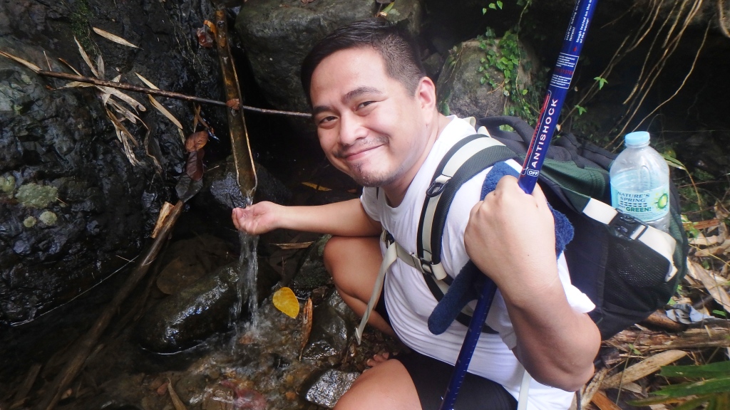
From the top, there is another drinking water source where you may need to refill your bottles because the next water source provides only a very tiny flow.
The trail going out of Mt Maranat is actually easy but it’s frustrating to see that after several steps downward, you will still get to reach a handful of overlooking views. I even asked Marvin’s kuya, “bumababa ba talaga tayo? Bakit parang ang taas parin natin kahit lampas 2 hours na tayo naglalakad?”
The answer is, its because you will not really get to the bottom of the mountain. The Mt Maranat exit trail ends at Brgy Balagbag which elevation is actually higher already.
Marvin’s Kuya joined me during the entire trek because I don’t walk fast enough. He carried with him a 20kgs of talangka to sell in the market for P40/kg. That day he will earn P800, enough to cover their family of 9 (7 siblings and he is the eldest at 16YRO). He said, during vacation, they catch talangka 3-4 times a week, walking from Mt Balagbag to Maranat to Balagbag again and when classes returns, he help his father on weekends. I was moved. I admire his perseverance. For us, crossing Mt Balagbag and Mt Maranat is just a weekend getaway, but for kids like him, it’s their daily grind.
Walking along the community of Maranat & Balagbag villagers feels like I was back proselyting as a missionary in 2007. The simplicity of neighborhood, the friendly faces of mothers sitting outside their doors while they carry their babies, fathers who are just returning home from a tiring day, barking askals and ducks crossing our paths… I love everything rural. Life is so simple.
We reached the end of the trail at 4:55 after almost 3 hours of trek. I can’t feel my legs anymore. We gave Marvin his talent fee for being a bright and helpful tour guide and got his number so we can recommend him to our friends who will be visiting Balagbag. Yes, always get a tour guide when you hike because its another way of helping the locals with their livelihood.
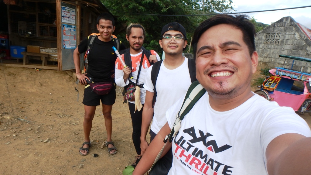
Before taking a bath at katabing sari-sari store, we ended our 2-day adventure with a satisfying groupie! Haha!
BUDGET
- Bus – Cubao to Tungko 53
- Jeep – Licao Licao 27
- Tryc – Licao-Licao to Brgy Hall 30
- Registration 19
- Resort – 150 (Overnight)
- Summit Entrance – 20
- Tryc – Brgy Hall to Licao2 30
- Jeep – Licao-licao to Tungko
- Bus – Tungko to Cubao


